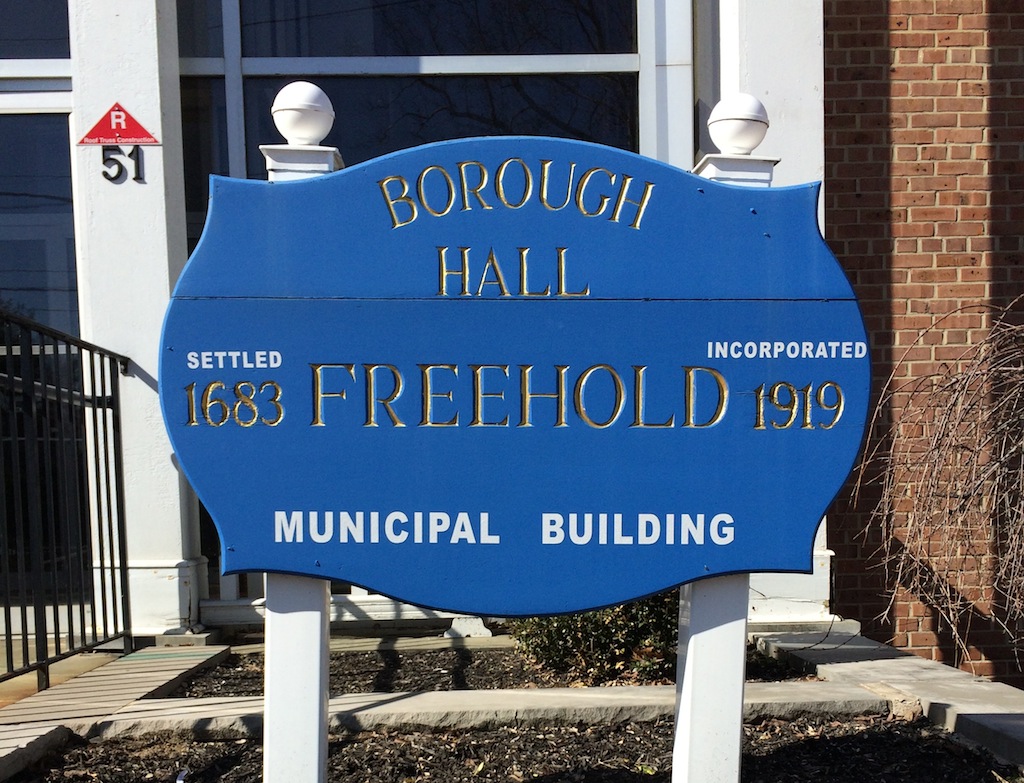
FREEHOLD – The Borough Council has authorized the development of a municipal utility geographic information system (GIS) as part of a series of actions to address the community’s aging water system.
Council members passed a resolution on Nov. 6 authorizing Mott MacDonald to develop the GIS after the company submitted a proposal to perform the project for $128,000. The firm’s work will include the development of an underground leak detection program, according to the resolution.
A GIS can access and produce data for maps.
The authorization of the development of the GIS came after the council adopted a bond ordinance in October which will provide $150,000 for engineering services as part of the preparation of the GIS.
The ordinance stated that the engineering services were for the preparation of a complete municipal utility GIS and authorized the issuance of $140,000 in bonds or notes to finance a portion of the cost of the engineering services, with a down payment of $10,000.
According to the resolution, municipal officials are taking action to address the conditions of the borough’s aging water system, including the replacement and installation of new water meters, and reviewing options to upgrade water plant operations.
Benefits of the GIS, according to officials, include simplified access to utility records in the field and in the office, improved accuracy of utility information and assistance with planning development activities.
The Finance Committee recommended that Mott MacDonald proceed with the development of the program after the company provided a demonstration to the committee, according to the resolution. Per Mott MacDonald’s agreement for water and sewer engineering services, borough officials chose to engage the services of the company.
Council President George Schnurr and council members Sharon Shutzer, Michael DiBenedetto, Kevin Kane and Ron Griffiths voted in favor of authorizing the development of the GIS. Councilman Jaye Sims was absent.


